Illustrated Children’s map of the British Isles
Client: Personal Project
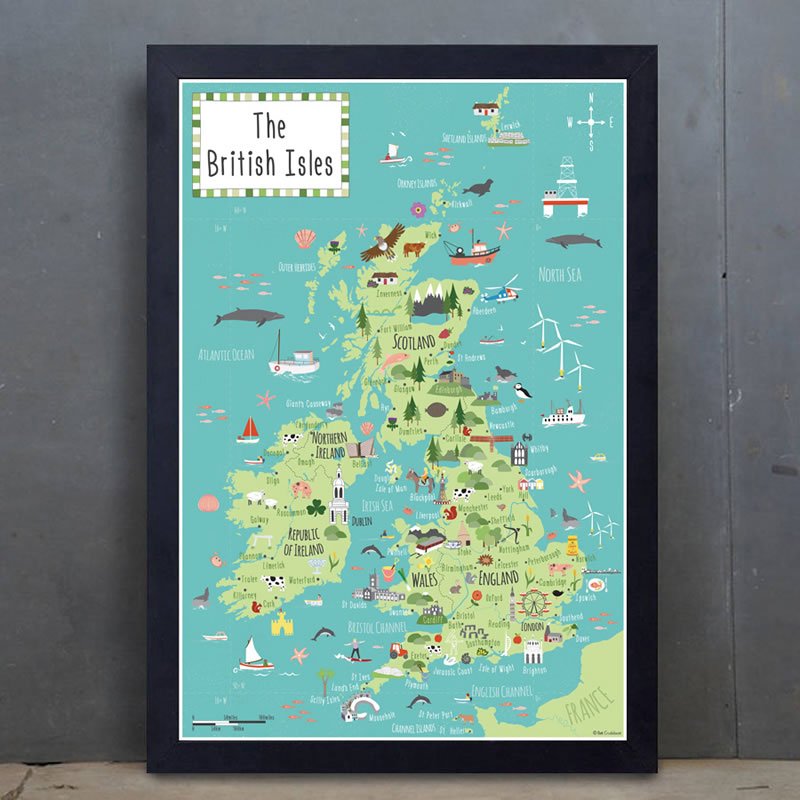
A vibrant and fun illustrated children’s map of the British Isles designed by Bek Cruddace. The Illustrated map shows main towns, cities, places of interest, landmarks as well as flora & fauna.
British Isles map features:
- Main towns/cities include: London, Manchester, Edinburgh, Cardiff, Belfast, Exeter, Glasgow, Newcastle, Norwich, Southampton.
- Places of Interest/Landmarks include: Stonehenge, Cerne Abbas giant, Angel of the North, Waterford Crystal, Burren, Loch Ness, Cairngorms, Snowdonia, Southwold pier, Kentish Oasthouses.
- Flora & Fauna include: Pigs, Sheep, dairy cattle, grey & red squirrels, Scottish salmon, hedgehogs, daffodils, raspberries.
You can buy my illustrated children’s map of the British Isles through my online shop. It would make a lovely gift for a child’s room.
** A matching print of an illustrated children’s map of Europe is also available to buy. **
Print details:
- Printed in the UK on heavy 250gsm uncoated, art paper.
- Dimensions: Available as A2, A3 & A4 size.
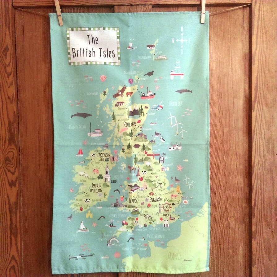
- Also available to buy as a greetings card and as a tea towel.
All prints are carefully wrapped in tissue paper or bubble wrap and are delivered in a sturdy postal tube.
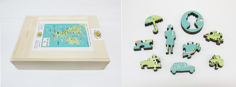
This illustrated map is also available to buy as a wooden jigsaw puzzle sold by Artifact Puzzles.